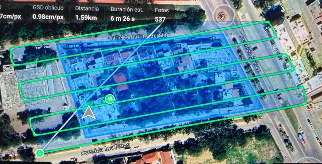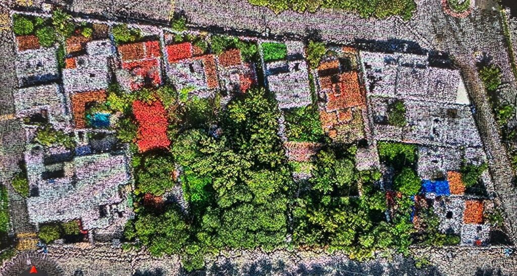
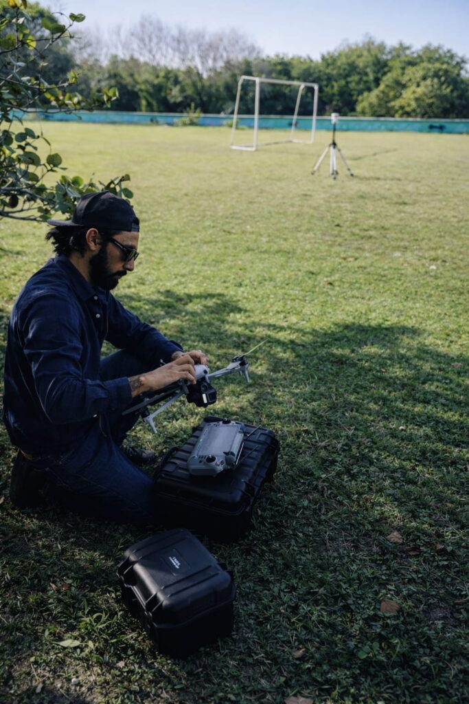
We deliver high-precision surveying and mapping services focused on accurate data capture and reliable geospatial results. Our work is centered on the generation of dense and detailed point clouds, enabling precise representation of terrain, structures, and urban environments. Through carefully executed field surveys and aerial data acquisition, we provide accurate measurements that support planning, design, and technical decision-making.
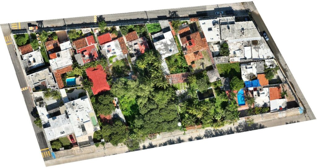
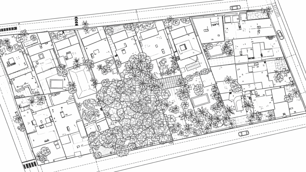
Our mapping process ensures high positional accuracy and consistent results across all deliverables. From point clouds and orthomosaics to elevation models and mapped surfaces, we transform real-world spaces into clear, measurable digital assets. Our services are ideal for land surveying, infrastructure documentation, urban mapping, and volumetric analysis, where precision and reliability are critical.
Aerial Survey & Cartography